EBC Webstore
Eastern Book Company

|
|||
|
|||
 Home > LAW BOOKS > Inactive > Reference > General Books > 2008 Home > LAW BOOKS > Inactive > Reference > General Books > 2008 |


 5
5
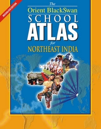
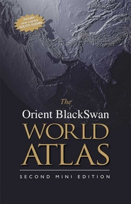
Up-to-date, comprehensive and user-friendly, The Orient BlackSwan School Atlas for Northeast India brings the world closer through its maps and graphical representations of facts. With a special focus on each state of Northeastern India and Sikkim, the Atlas helps students understand the relationship between the worlds physical features and human activities. In addition to political and physical maps, there are maps covering climatic variations, soil types, vegetation and human activities such as agriculture, industry, communication and tourism. Key Features: detailed maps of all states of Northeastern India and Sikkim showing physical features and administrative divisions wide-ranging thematic maps of all states of Northeastern India and Sikkim showing climatic variations, types of vegetation, density of population and economy histograms and pie graphs providing important statistical data of the states of India up-to-date political boundaries of the world maps of the polar regions indicating exploration and expedition routes as well as research stations in the Antarctic an exhaustive, easy-to-use, alphanumeric index of over 7000 entries, including the most recent changes in the world The Orient BlackSwan School Atlas for Northeast India satisfies the syllabus requirements of the Meghalaya Board of School Education — — The essential companion
|

Click on TITLE to choose available options.
|

|
Click on TITLE to choose available options.
|
![The Practical Lawyer - PLW [Annual Subscription]](https://s3.amazonaws.com/ebcwebstore/images/the-practical-lawyer-magazine-annual-subscription.png)
|
Click on TITLE to choose available options.
|

|

Click on TITLE to choose available options.
|

|
Click on TITLE to choose available options.
|

|
Click on TITLE to choose available options.
|

|
|

|
Click on TITLE to choose available options.
|

|
Click on TITLE to choose available options.
|

|
|
|
||
|
||
|